Mapping & Aerial Assessments
Multi-spectral Imaging
Digital Elevation Models
Orthographic Maps
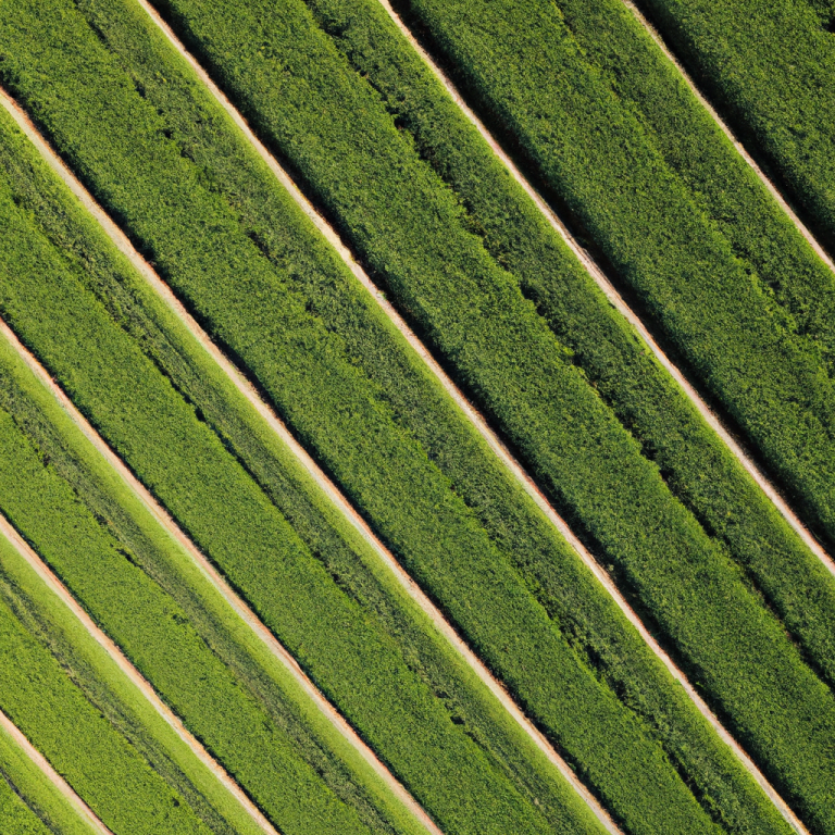
Crop Health Survey
Crop Damage
Insurance Assessments
Property Map
Drone Assessments
Inspect difficult to reach places
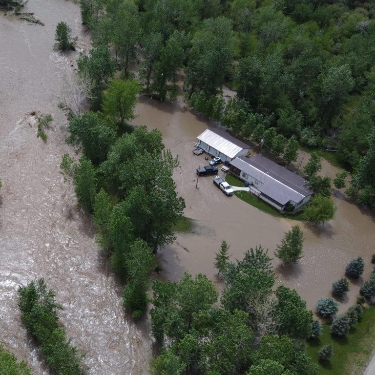
Insurance Damage
Natural Disasters
Crop Health &
Precision Agriculture Applications


Drone Mapping & Orthographic Images
Current High Resolution Images
Emlid RTK GNSS Base Station Controlled Accuracy
Digital Elevation Models
3D Interactive Imaging
We need your consent to load the translations
We use a third-party service to translate the website content that may collect data about your activity. Please review the details in the privacy policy and accept the service to view the translations.